Live streaming on Altcast.TV is now available!
![A PACK OF 4 BLACKS JUMP A LONE WHITE GUY 🥊 AND FIND OUT IT WAS BETTER NOT TO [FAFO]❗](https://s3.us-central-1.wasabisys.com/altcast1/upload/photos/2026/06/lLnKJghrVQcEbzF5Iqix_23_97de4ec3843301388f74ae52b7398c3c_image.jpg)
![PERHAPS WHITE MEN CANNOT JUMP 🥊 BUT THEY SURE CAN DROP❗ [FAFO ORDER SUPER SIZED]](https://s3.us-central-1.wasabisys.com/altcast1/upload/photos/2026/06/jBcuihpnGFQO8vEo1AeG_19_59e25c0e90af62a497bae095e6060099_image.png)


![THE COLOSSAL CHIMPOUT 🦍 OF RAJA JACKSON [LACK OF IMPULSE CONTROL OR JUST HIGH AS BALLS⁉️]](https://s3.us-central-1.wasabisys.com/altcast1/upload/photos/2025/08/4QsZbxzL3jsr3oPWs4QR_27_604807488a567ab8f6b237ee3bad0c99_image.jpeg)


![THE CIA ERASED TARTARIAN HISTORY‼️ [HIGH VOLUME 🔊 WARNING]](https://s3.us-central-1.wasabisys.com/altcast1/upload/photos/2025/06/ivkvOmEDsvPWrEMg2YKz_20_8d008d6ae08ad196612228e6e78745d0_image.jpg)
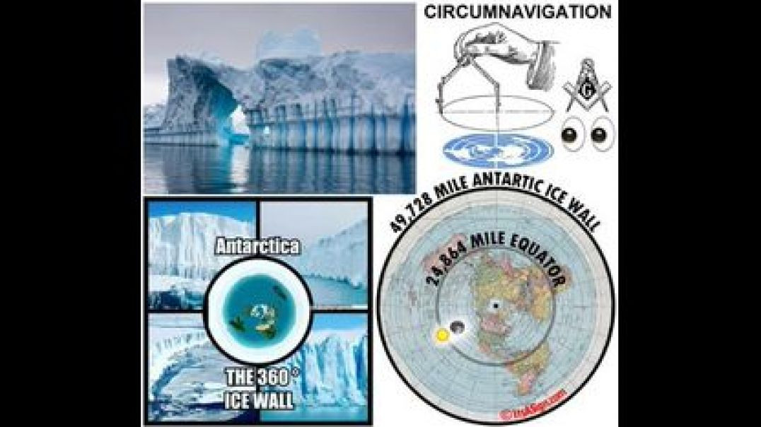
![MORE LAND 🏔 BEYOND ANTARCTICA [PUBLISHED TODAY]](https://s3.us-central-1.wasabisys.com/altcast1/upload/photos/2025/05/uNK5eY4ypN7d5nrHODGh_15_29aa1c190285c22bd52d82dbd9f9953b_image.jpg)
OPERATION HIGH JUMP 🏔🌞 ANTARCTICA HAS WARM INNER LAKES IN BUNGER HILLS AREA!

Source: https://www.youtube.com/watch?v=cGtvXOvqYZg
Thumbnail: https://cgaviationhistory.org/....1946-operation-high-
During Operation HIGH JUMP in 1946-47 Admiral Byrd lead a full-scale military invasion force to locate and destroy hidden German Nazi "4th Reich" bases under the cover story of harmless "polar exploration".
https://www.combatreform.org/black_sun.htm
Providing proof that there is either a Hollow Earth or Underground Bases in Antarctica is the footage here from Commander David Bunger USN landing his PBM Mariner seaplane showing that suddenly amidst all this sub-zero temperatures lakes and ice-free land appear warmed by some sort of geothermal action below. The recent openings found are in the Bunger Hills area named after this pioneer.
This video is able for you to embed onto web pages to spread the truth about the Antarctic!
The Best information source on the Hollow Earth is Dennis Crenshaw's Hollow Earth Insider:
https://thehollowearthinsider.com/archives/10341
Details:
https://en.wikipedia.org/wiki/Bunger_Hills
The Bunger Hills are located with its center at stretching from 65°58'S to 66°20'S and from 100°20'E to 100°28'E. The Bunger Hills are marked by numerous melt ponds and are nearly bisected by an east-west trending Algae Lake (also known as Lake Figurnoye). Mapped from air photos taken by the United States Navy Operation Highjump (1946-1947) and named by the United States Advisory Committee on Antarctic Names (US-ACAN) for Lieutenant Commander David E. Bunger, United States Navy, plane commander of one of the three USN Operation HIGH JUMP aircraft which engaged in photographic missions along most of the coastal area between 14 E and 164 E. David E. Bunger and members of his crew landed their airplane on an unfrozen lake here in February 1947. The ice-free area measures 450 km², according to some sources even 750 or 942 km². The area is surrounded by glaciers. On the southeast the Bunger Hills are bordered by the steep slopes of the Antarctic ice sheet, on the south and west by outlet glaciers, and on the north by Shackleton Ice Shelf, which separates the area from the open sea. The topography is characterized by hills and low mountains, and there are many freshwater and salt lakes. The largest and deepest lake, Algae Lake (Lake Figurnoye) is 25 km long and up to 137 meters deep. The leader of Operation HIGH JUMP, Admiral Richard E. Byrd, famously stated that the Bunger Hills was "one of the most remarkable regions on earth. An island suitable for life had been found in a universe of death."